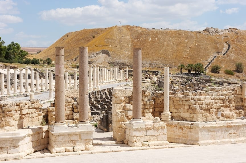
Scientist use new technology to discover ancient ruins
Lasers are helping scientists discover long lost cities. Airborne LiDAR (light detection and ranging), is a powerful mapping technology that was first used in the 60’s as a method for detecting submarines. The laser pulses over areas of interest in order to measure the distance between the ground and the aircraft. Last year, a team of archeologists, led by University of Sydney researchers, reported that they had used LiDAT to find 370 square kilometers around the world’s biggest religious complex-Cambodia’s Angkor Wat-in less than two weeks. It helped them find the long lost city and revealed an even older city that archeologists had a sneaky suspicion lay hidden nearby.
This long lost city is called Mahendraparvata, was located atop the Phnom Kulen mountain in the Siem Reap Province. This was the original capital of the mighty Khemer Empire which was founded by king Jayavarman II. This mapping helped find 30 previously unknown temples alongside evidence of an extensive urban structure including canals, a grid of ceremonial boulevards, man-made ponds and roads.


